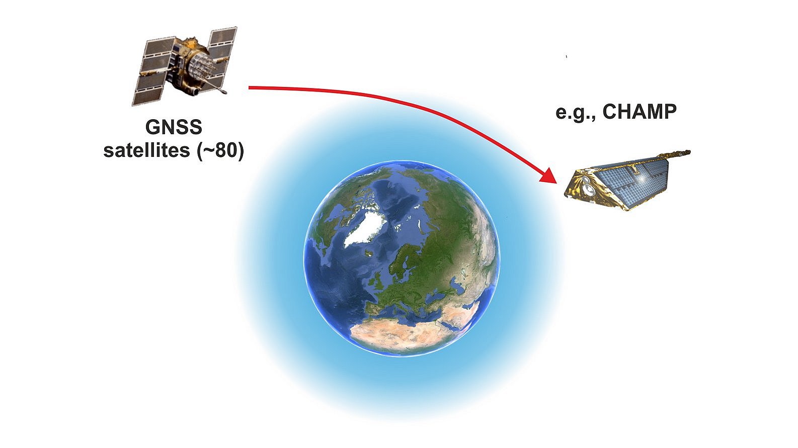
The diverse sensor technology of the GRACE-FO satellites not only enables the measurement of the time-varying Earth's gravity field and the water mass shifts that cause it, but also a whole range of other geoscientific investigations. A particularly important secondary payload is an additional receiver for the signals from global satellite navigation systems (GNSS), which uses GNSS radio occultation technology (GNSS-RO) to enable precise vertical sounding (limb sounding) of the Earth's atmosphere on a global scale.
Dr. Torsten Schmidt, GFZ Helmholtz Centre for Geosciences
Such GNSS receivers are on board various low-flying satellites (Low Earth Orbiting [LEO] satellites, orbit height less than 1000 km), and they register the phases and amplitudes of the signals from the American GPS or the European GALILEO system, whose satellites travel on much higher orbits (approx. 20,000 km above the Earth's surface), up to 100 times per second.
From the measurement signals influenced by the atmosphere during the approximately one-minute satellite rises or sets (occultations) and the precise orbital positions of the satellites involved, vertical profiles of the refractivity, temperature and also of the water vapor (in the lower troposphere) can be derived up to an altitude of 40 km above ground. In addition, vertical profiles of the electron density can be calculated from about 80 km up to the orbital altitude of the low-flying receiver satellite.
The main properties of the RO technique are (1) global availability of the measurements, (2) weather independence of the observations due to the GNSS signals in the L-band, (3) high vertical resolution (about 1 km in the lower stratosphere, 100 m in the troposphere) but low horizontal resolution (200-300 km) and (4) long-term stability of the measurements.
Due to the measurement method and the resulting properties, in particular the long-term stability of the measurements, RO data are used for temperature monitoring in the upper troposphere and lower stratosphere (about 5-40 km). This allows temperature trends in this region of the atmosphere to be determined very precisely. RO data are therefore an important data set in climate research, as documented in the current IPCC report (AR6, 2021). Figure 1 is an update of the temperature trend in the upper troposphere and lower stratosphere, with a clearly visible temperature increase in the troposphere and a cooling in the lower stratosphere during the period 2002-2023.

RO data has also been used by weather services since 2006 and is therefore also important for daily weather forecasting. In order for RO data to be used for weather forecasting, the time span between the measurement on the satellite and its arrival at the weather services must not be (much) longer than three hours.
To ensure this, a complex infrastructure is required. This includes a polar receiving station for the RO data. Since the LEO satellites move in polar orbits, a polar receiving station enables contact with the satellite every 90 minutes. The time criterion can be met through fast data transfer and data processing. For this purpose, the GFZ Potsdam has been operating a receiving station in Ny-Aalesund on Spitsbergen for over 20 years. Figure 2 shows infrastructure and data flow for the processing of RO data at GFZ.

The GFZ is currently responsible for processing the RO data for the TerraSAR-X (since 2008), Tandem-X (since 2011) and the two GRACE-FO satellites (since 2020) missions (https://www-app2.gfz-potsdam.de/ro/index_ro_experiment.html) and has thus been continuously contributing to the global RO database since 2001 (RO data from CHAMP). In the past, the data from GRACE and CHAMP were also primarily evaluated in Potsdam. Other currently important RO missions are: COSMIC-2 (USA/Taiwan, 6 satellites), Metop-B/C (EU) and Spire (USA, private, a large number of small satellites). Access to current RO data from almost all missions is possible via UCAR (https://data.cosmic.ucar.edu/gnss-ro). Currently, several thousand RO profiles are generated daily.
Further Reading
Anthes R. A. (2011): Exploring Earth's atmosphere with radio occultation: contributions to weather, climate, and space weather. Atmos. Meas. Tech., 4, 1077–1103, doi:10.5194/amt-4-1077-2011.
Schmidt T., Wickert J., Michalak G. (2010): The operational processing system for GPS radio occultation data from CHAMP and GRACE. - In: Flechtner, F.; Gruber, T.; Günt-ner, A.; Mandea, M.; Rothacher, M.; Schöne, T.; Wickert, J. (Eds.), System Earth via Geodetic-Geophysical Space Techniques, Springer, 455-460.
Wickert J., Dick G., Schmidt T., et al. (2020): GNSS Remote Sensing at GFZ: Overview and Recent Results. Zeitschrift für Vermessungswesen (zfv), 5, 266-278, doi:10.12902/zfv-0320-2020.
